GLOBALTECHSERVE MARINE (GTM) Hydro Division is principally engaged in Hydrographic Surveying. GTM provides precise positioning services for marine construction projects, hydrographic and oceanographic surveys and data acquisition, processing, analysis, interpretation and data management. GTM services include various hydrographic surveying such as bathymetry, side scan sonar survey, survey for dredging and reclamation, marine construction surveys such as ports, jetties, bridges, environmental survey for EIA analysis, water sampling, sea bed soil sampling, current metering, oceanographic data collection, tide observation and tidal analysis, barge monitoring system, real time data transfer and data analysis, water quality observation, and other related hydrographic surveys.
GTM Services
- BATHYMETRIC SURVEY
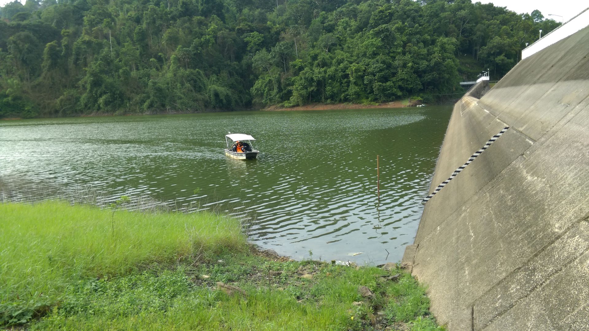
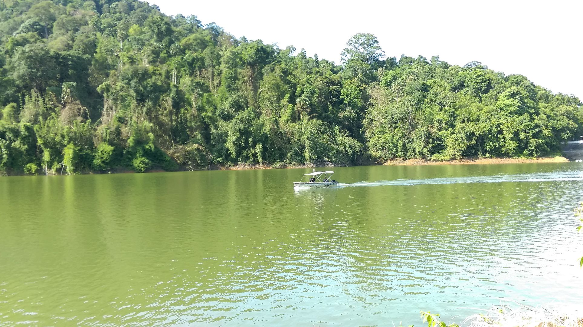
- Bathymetric survey involves depth measurements in order to describe the topography of seabed and producing hydrographic plans.
- PRE/INTERIM/POST DREDGE SURVEY
- To provide bathymetric survey, positioning services and barge monitoring services, computing dredged volume, assisting alignment of dredged channel or any other related survey works throughout dredging works.
- SEABED MAPPING
- To map and investigate seabed of any pockmarks, corals, existing pipeline on the seabed or hazard survey for any debris or shipwreck. The survey normally conducted prior to pipeline or cable laying, dredging works, sand search, installation of marine structures, marine constructions.
- MARINE CONSTRUCTION
- GTM offers hydrographic and oceanographic surveys such as bathymetric, tidal analysis, wave analysis, water samplings, seabed samplings, current metering, side scan sonar, sub-bottom shallow profiling, pipeline route surveys, geological studies, EIA investigations.
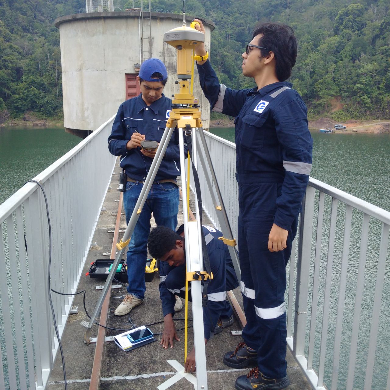
- DGPS POSITIONING SERVICES
- This included positioning of marine structures, construction barge, assisting anchor handling vessel, dredging barge and other related positioning services.
- CURRENT METERING
- Measuring of the sea currents, speed and direction for the purpose of feasibility studies for marine constructions, navigation channel, and hydraulic modeling studies
- TIDAL ANALYSIS
- In-house Total Tide Solutions software capable of processing observed tidal data, tidal analysis, determining tidal harmonic constituents and producing tidal prediction table for specific survey area.
- METOCEAN AND OCEANOGRAPHIC SERVICES
- Provide positioning and sampling of seawater and seabed soil that to be analyzed for its pH turbidity, temperature, salinity, conductivity, dissolved oxygen, particle size distribution, or other related tests. Real time data transmission and data monitoring system can also be implemented.
- SUBMARINE GUIDE
- Positioning services to assisting construction barge during pipe lay or cable lay operations.
- SUBMARINE PIPELINE INVESTIGATION & INSPECTION
- To identify the best proposed route for new pipeline, as-built pipeline route survey and span investigation for newly built and existing pipeline.
- WATER SAMPLING
- To collect water samples at specific locations.
- SOIL SAMPLING
- To collect seabed soil samples at specific locations.